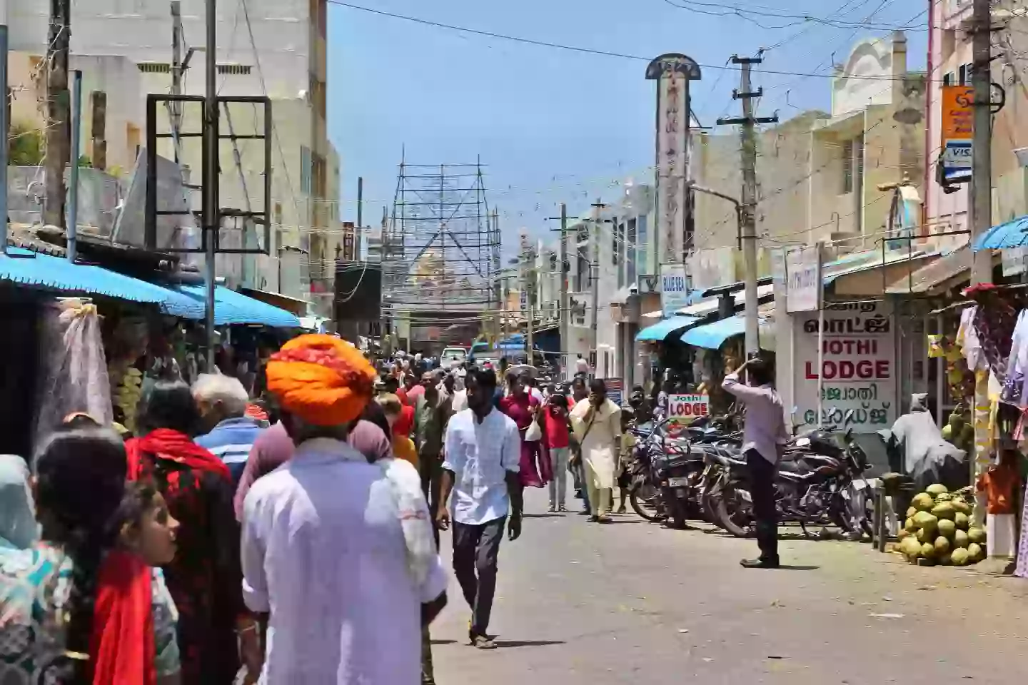
Google had to create a genius fix to India's Google Maps when they realized there are hardly any street names in the country.
While your iPhone comes loaded with Apple Maps, how many of you turn to Google Maps in your hour of need? When lost in a new city or trying to get around while on holiday, Google Maps means we no longer need to unfold a paper map and step inside it like when Joey went to London in Friends.
Unfortunately, Google Maps wasn't always the gold standard of navigation apps, as once upon a time, it faced a problem in certain territories.
The problem came when Google Maps expanded into India in 2008. Namely, India typically doesn't use street names, making it hard for a service like Google Maps. After all, we're used to turning left at blank, continuing on blank, and then taking a right onto blank.
Advert

Posting on YouTube, Phoebe Yu explained how many streets in India didn't have names at the time, or had multiple names. She uses the example of waking up in the city of Pune and wanting to find some aloo paratha, you search local restaurants but the directions are more than a little confusing.
It was also a time before phones had accurate GPS, meaning consumers needed something more to help them get around.
UX designer Janet Cheung and UX researcher Olga Khroustaleva were tasked with creating a solution to the street name situation.
Advert
The pair realized that people around the globe use landmarks to navigate, and flying to India to see if they could solve the problem, Yu says they did in a kind of 'scrappy way'.
Calling businesses and asking for directions to their stores, Cheung and Khroustaleva also got people to draw diagrams for familiar routes and followed people around as they tried to make sense of a country without street names.
This wasn't just a problem exclusive to India, with Yu saying people in Japan tend to navigate with numbers and blocks. Former Google Maps worker Elizabeth Laraki wrote on her Substack: "We could have left the product as it was. We could have assumed it was good enough, would get better over time, or that eventually people would adapt.
Advert
"But India was a massive potential market and we all wanted the product to thrive. So we had to find a different way around this problem."
This dynamic duo of Cheung and Khroustaleva figured out that navigating involved four critical things: orientation, description of a turn, confirmation of the right path, and error correction.
Using cues like passing local landmarks and telling people when they've gone too far, Google's India problem was solved.
It's a pretty standard view if you check Google Maps for somewhere that has street names, but looking at India, you'll see landmark instructions are included in blue.
Advert
My localizing maps, Yu says it gave Google Maps a global appeal.
As a UX designer, Yu explains how you need to 'get as close as living the life of the user as possible': "What struggles do they actually face, and how are they already working around a problem that I'm trying to solve."
Although Laraki notes that a lot has changed in the years since Google Maps first made moves into India, the method is one that's stood the test of time.
